3D Masterplanning and Software Development
GMJ provides advanced 3D masterplanning and software tools to define development capacity and support planning decisions within complex urban environments.
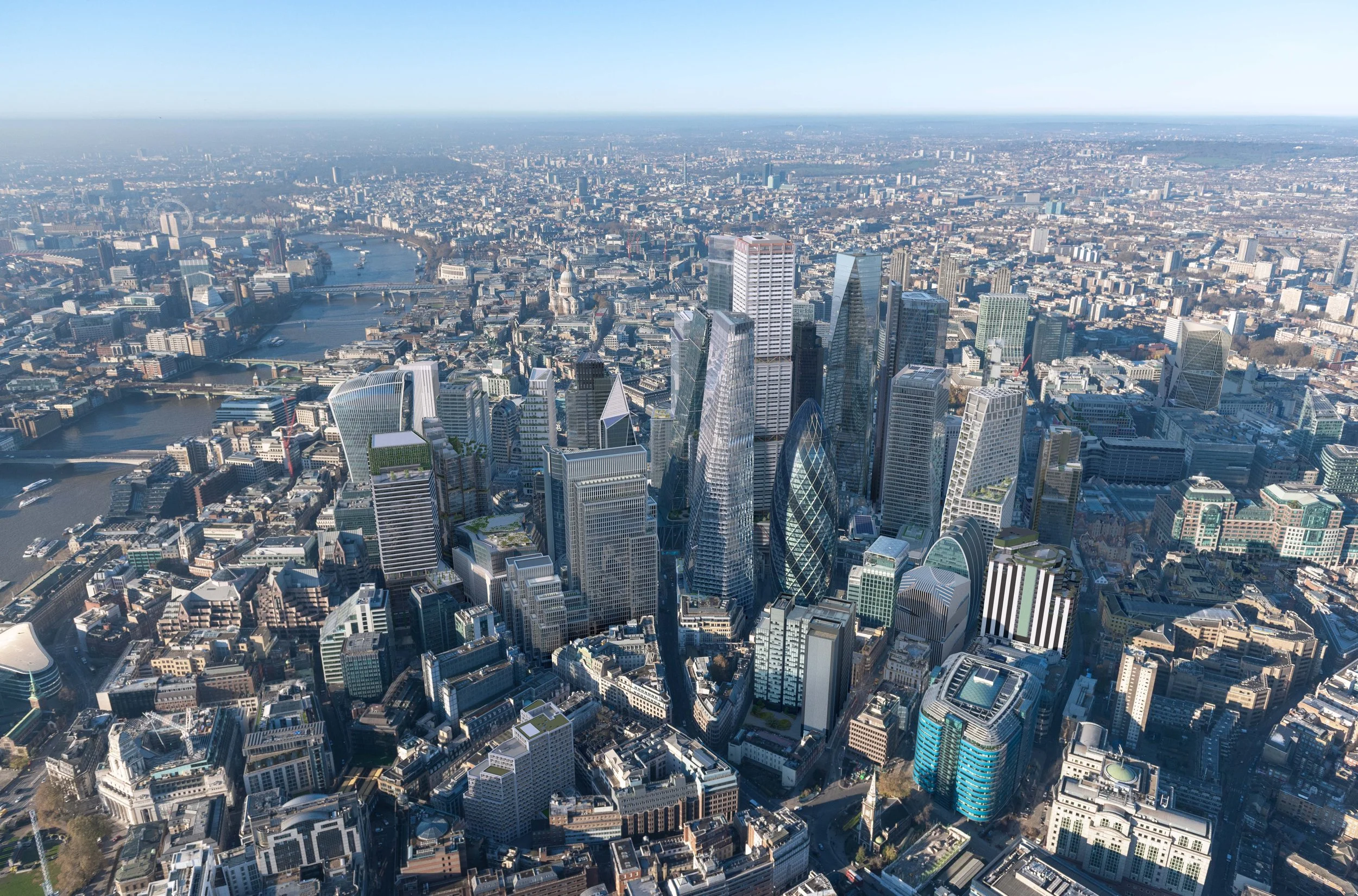
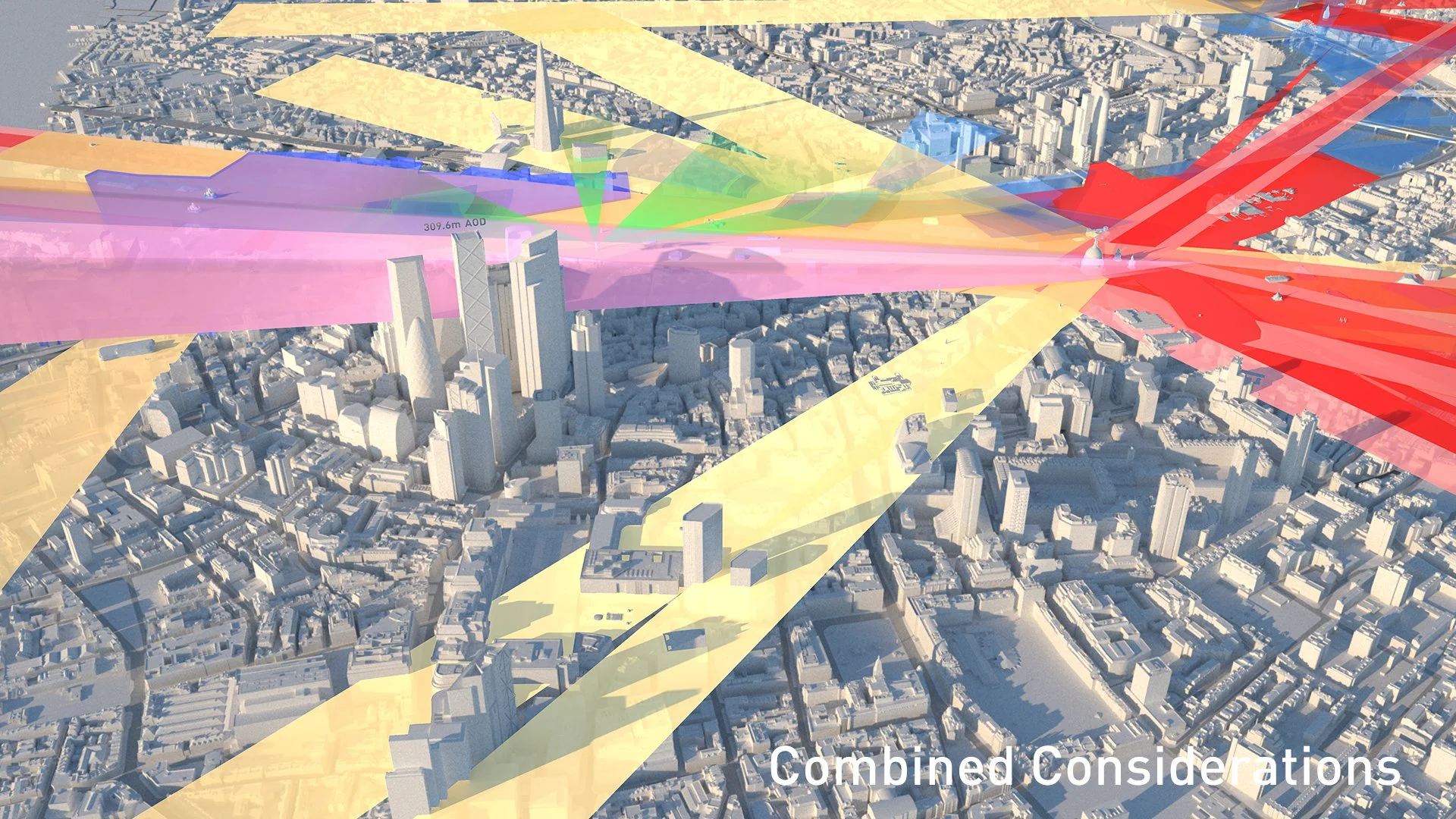
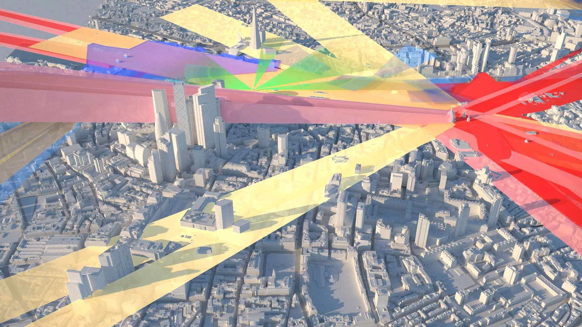
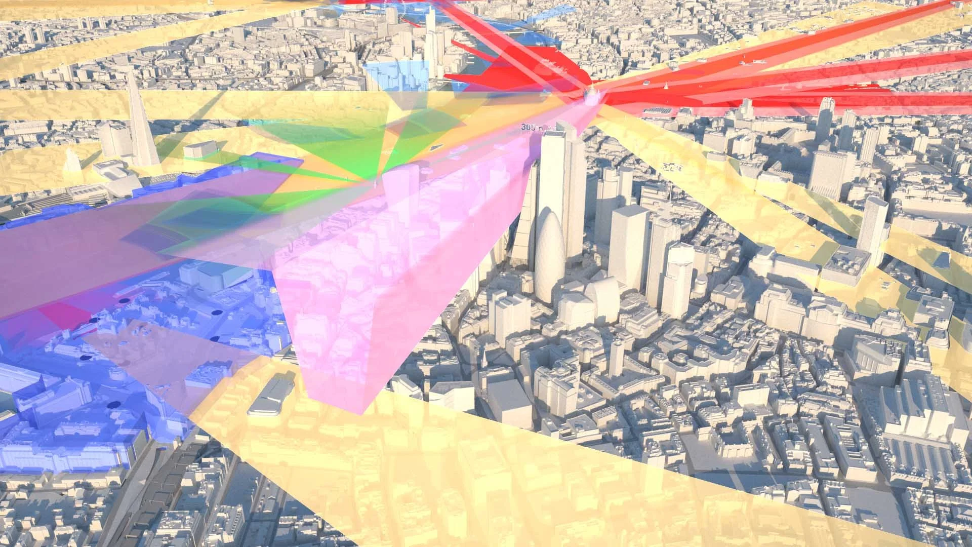
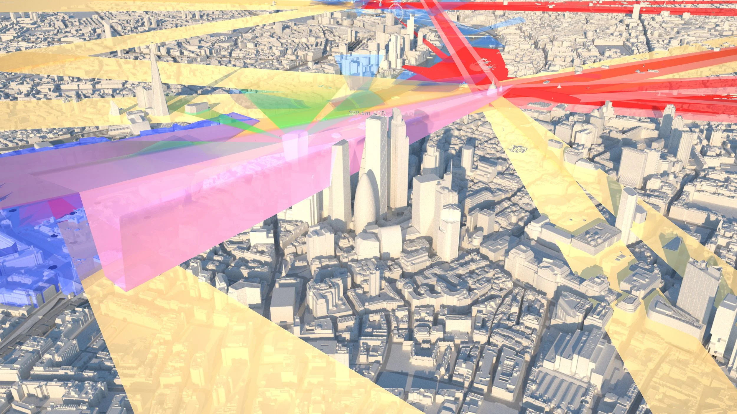
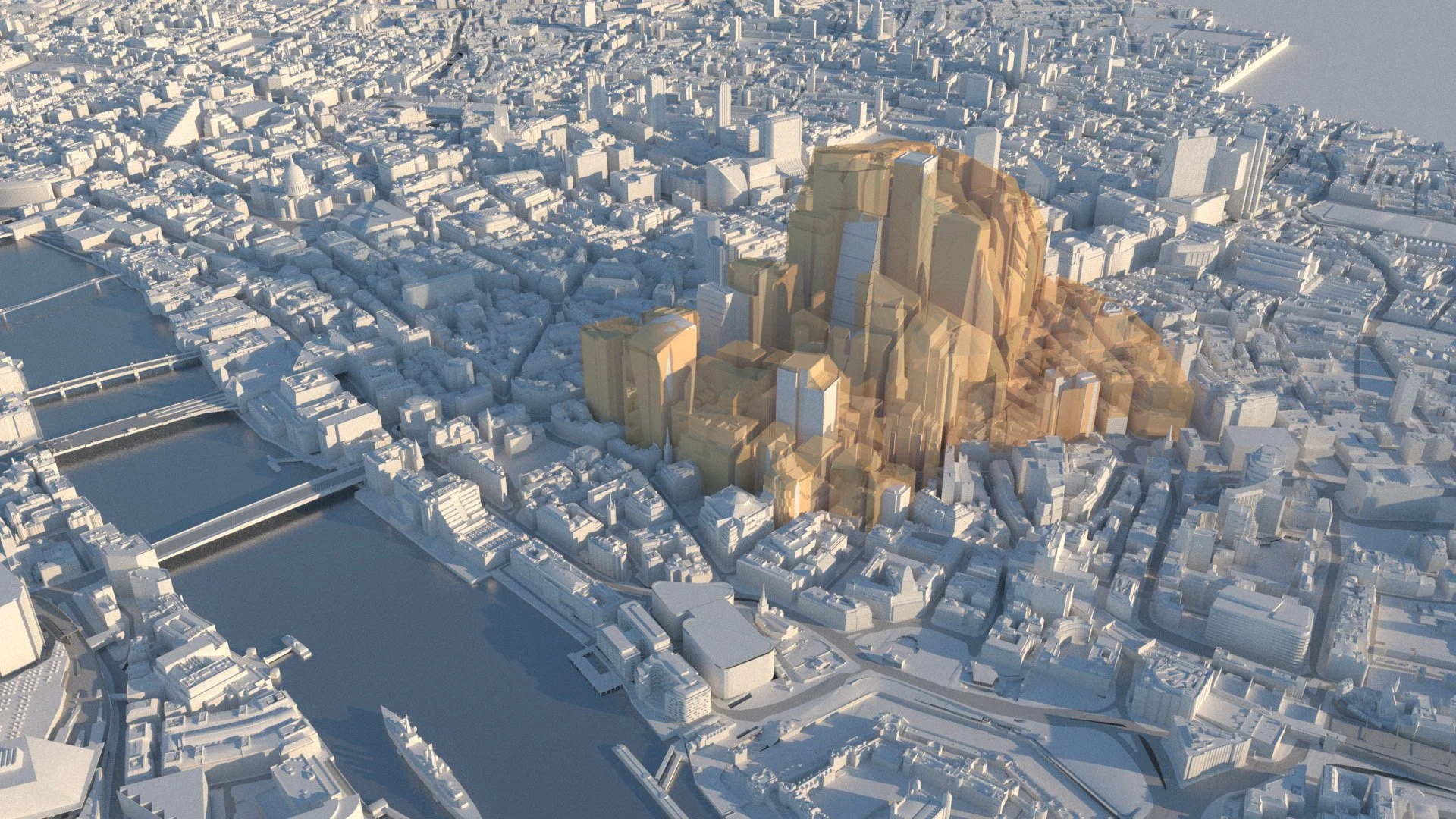
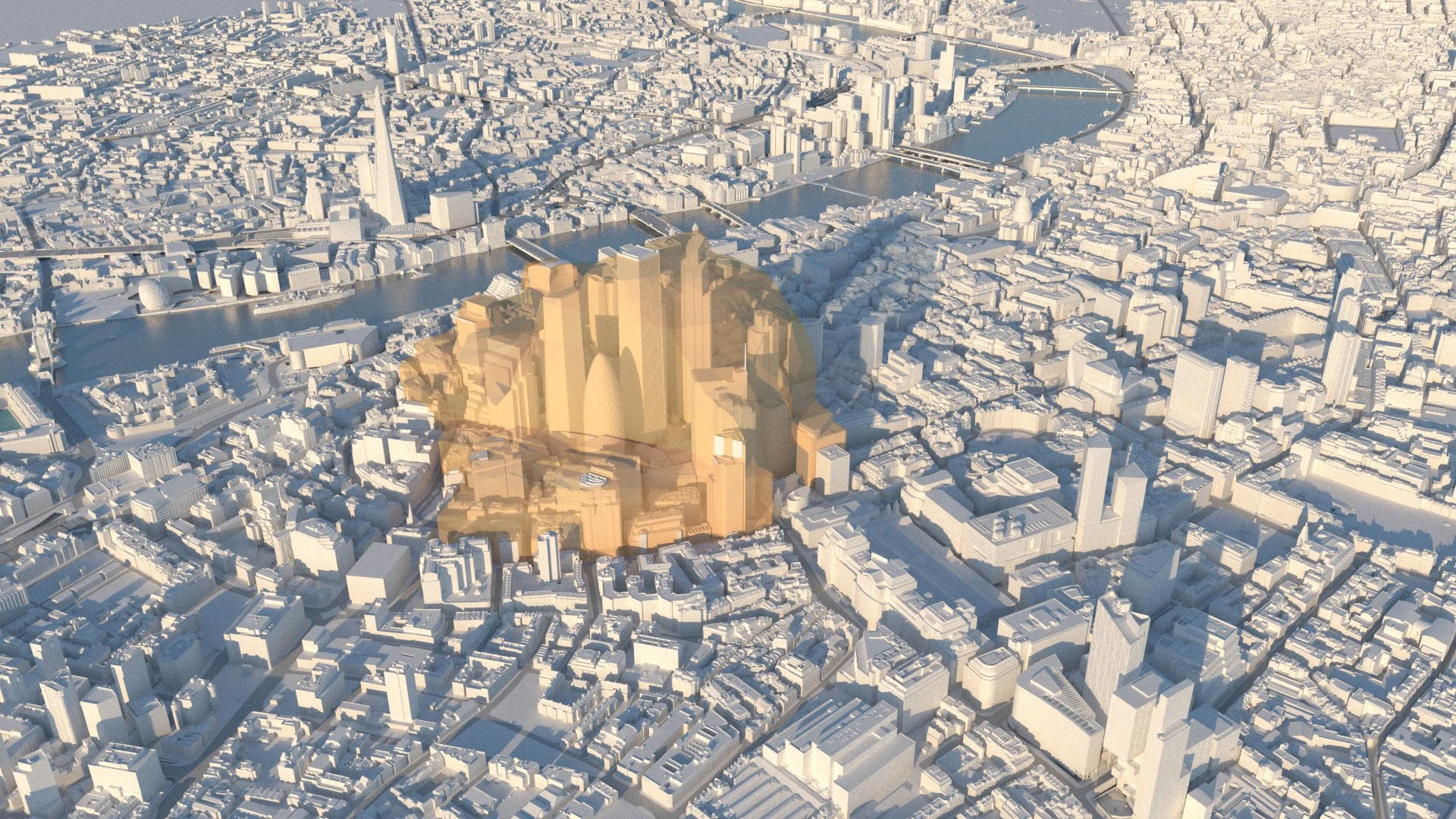
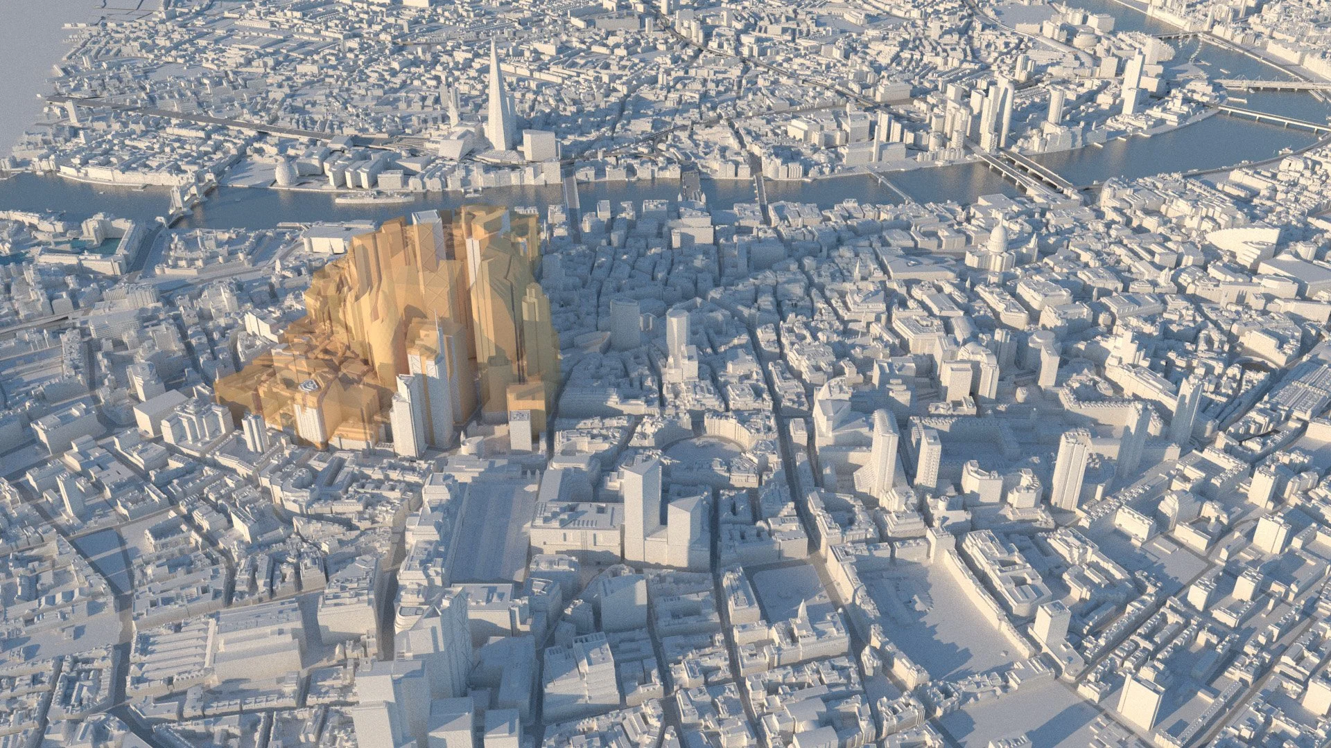
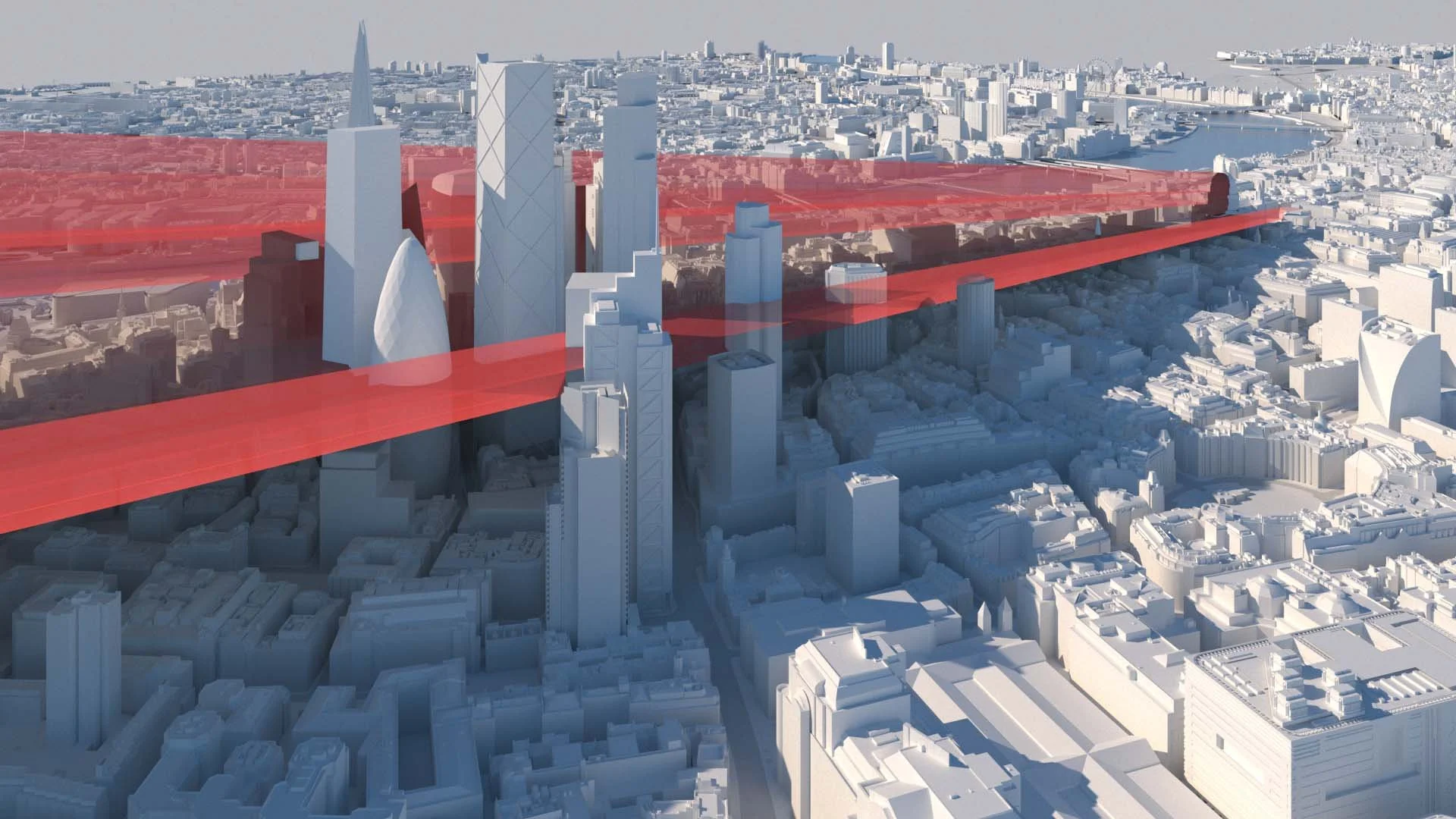
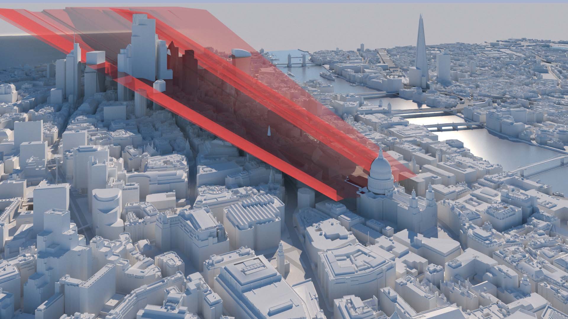
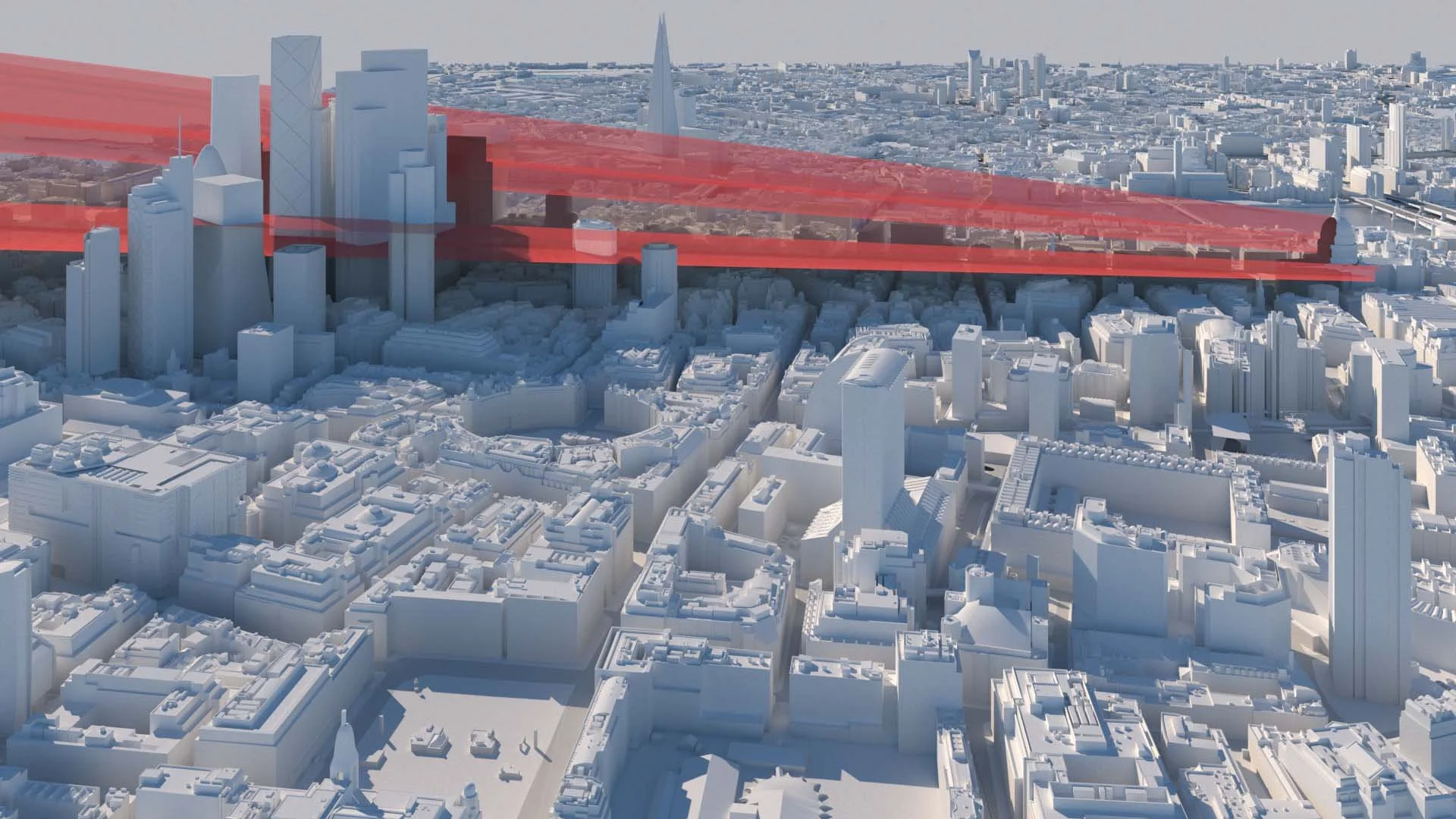
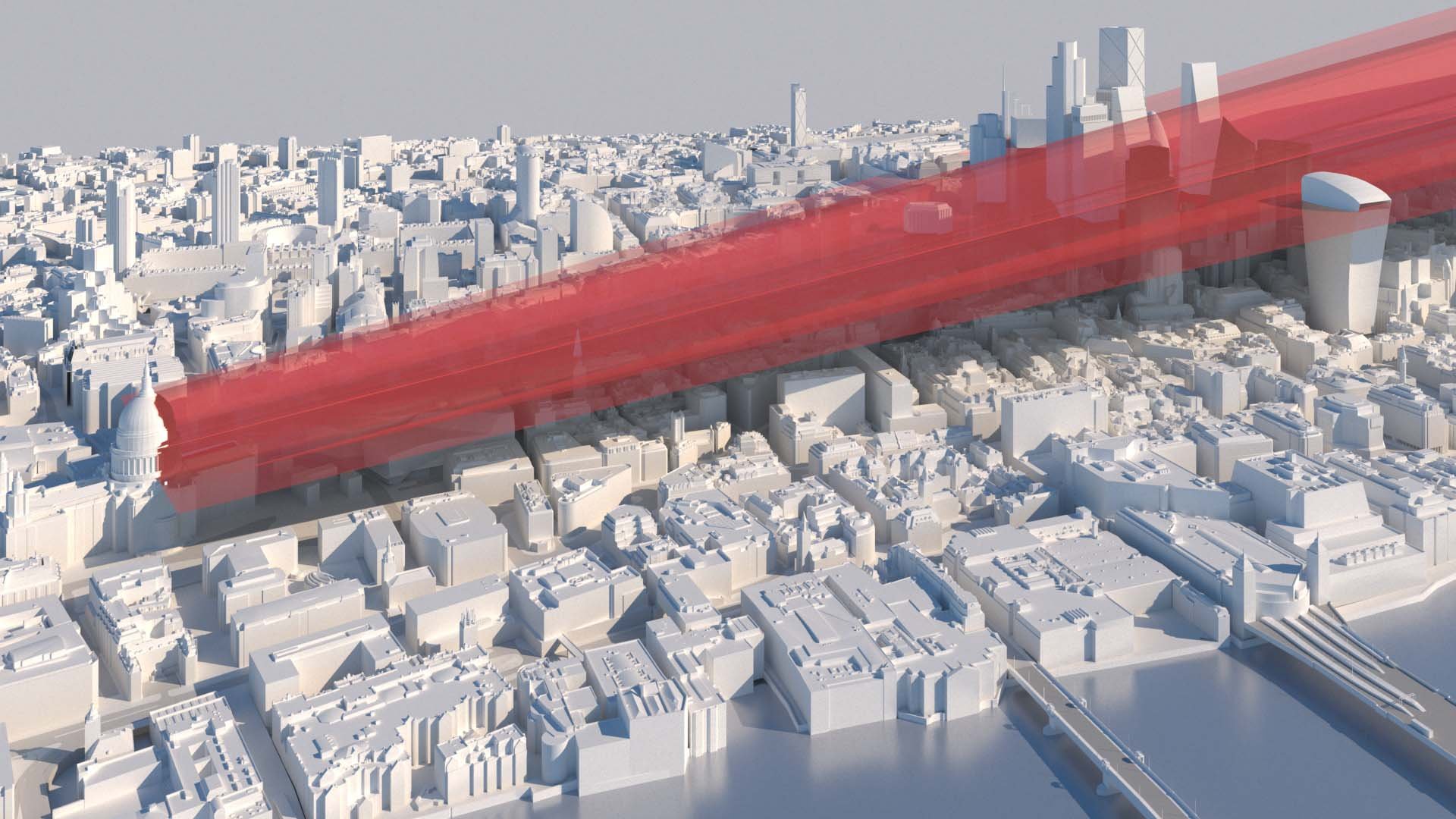
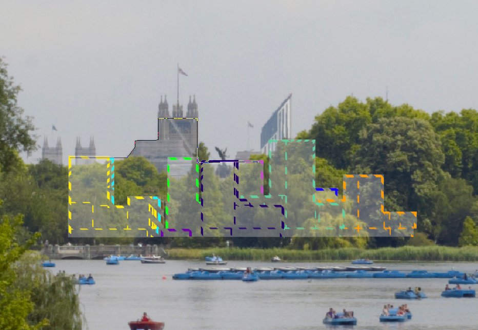
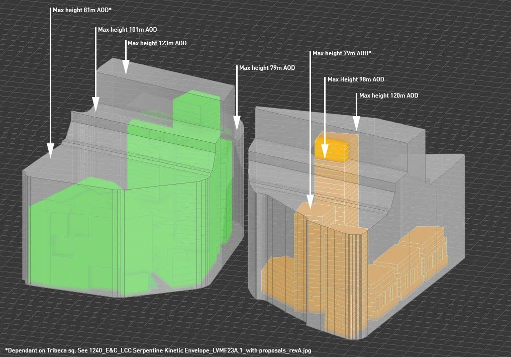
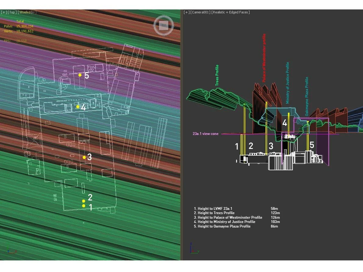
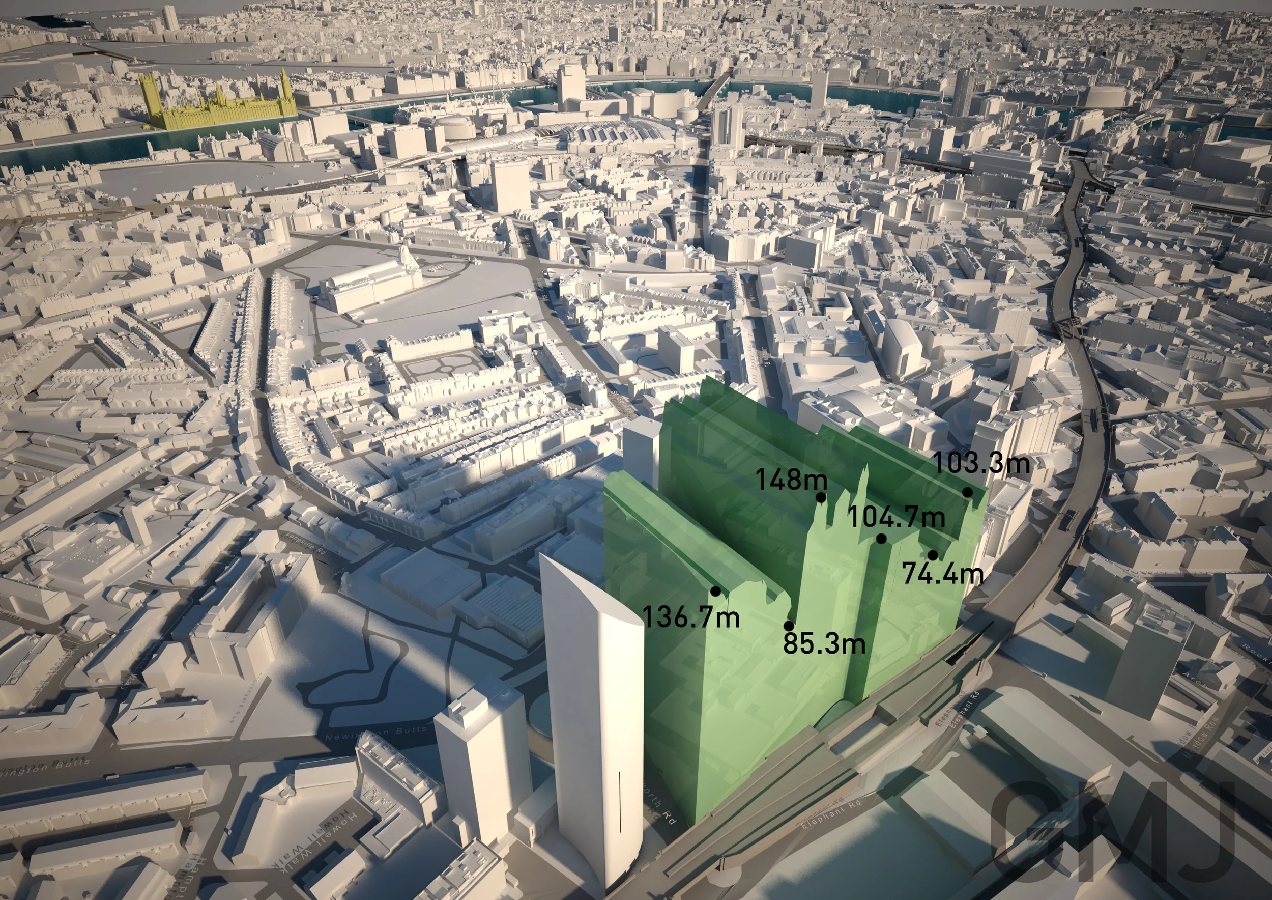
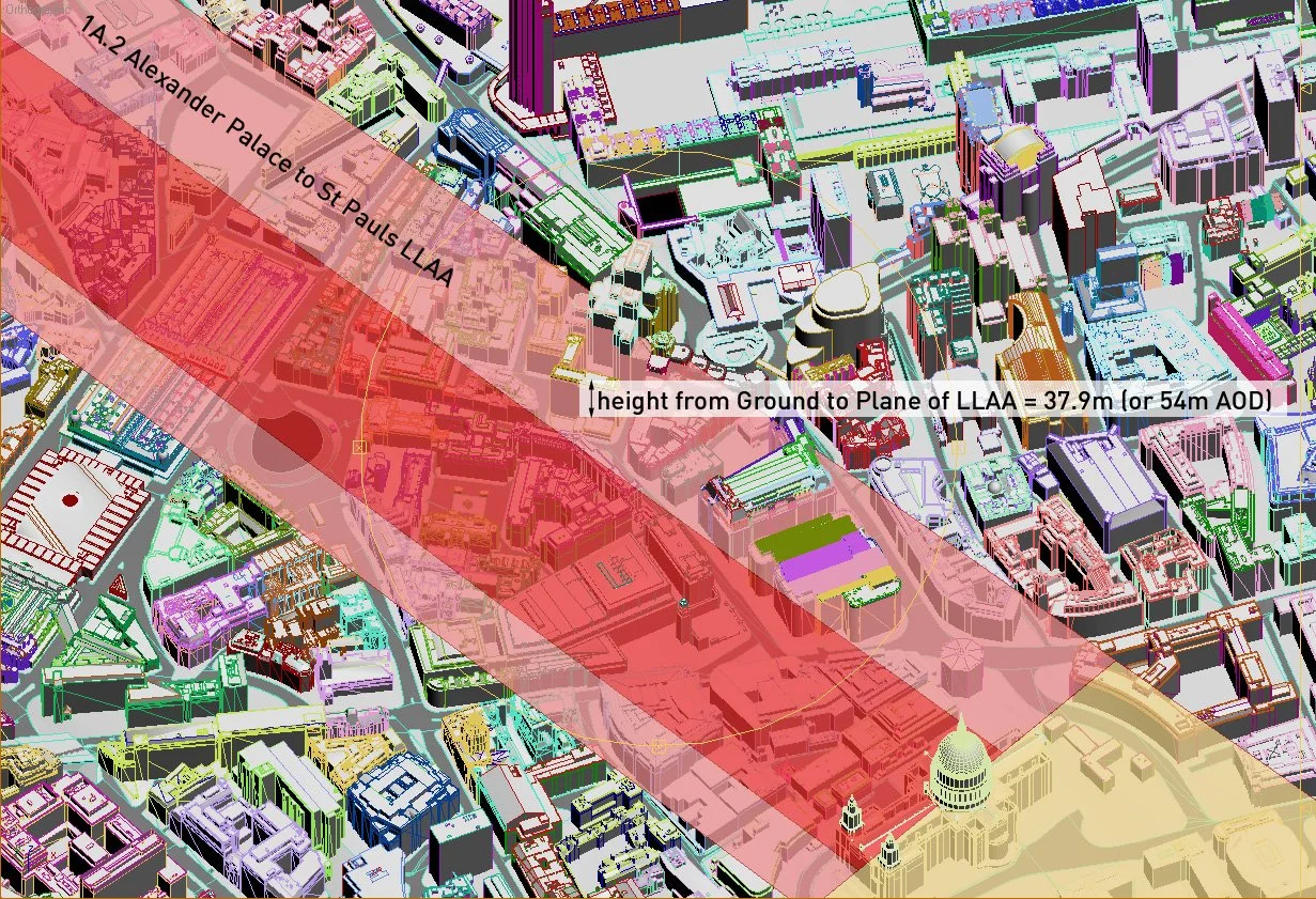
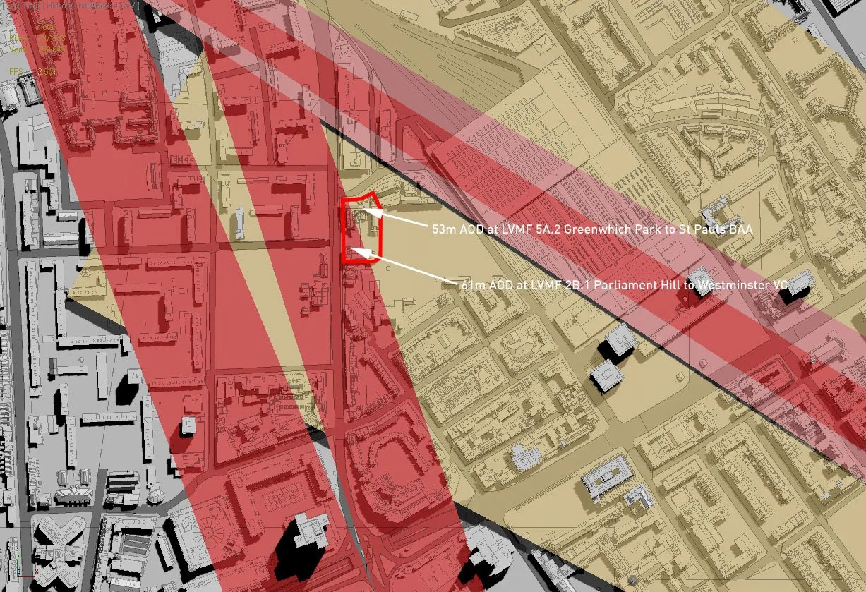
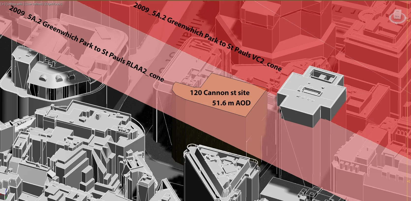
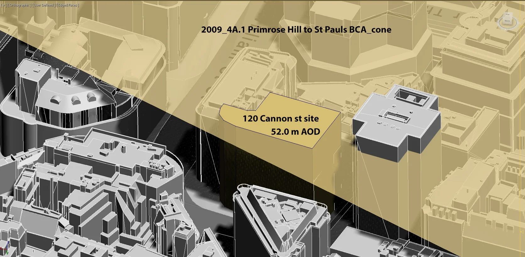
We create three dimensional maximum build envelopes by defining and projecting all planning constraints into a single model, including protected views and local planning controls, to form a clear spatial framework for development. This approach was applied for the City of London, where the model is now used by planners to evaluate incoming applications, ensuring proposals sit within the prescribed volume and allowing focus on wider planning considerations.
Since 2005, GMJ has developed tools to analyse visibility and define build envelopes in areas with complex three dimensional constraints, such as Elephant and Castle. These tools enable the testing of multiple overlapping planning controls to establish clear and achievable development parameters.
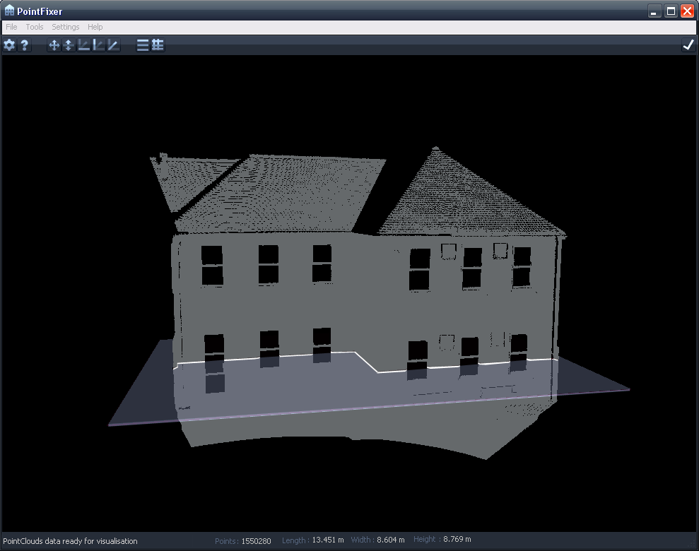
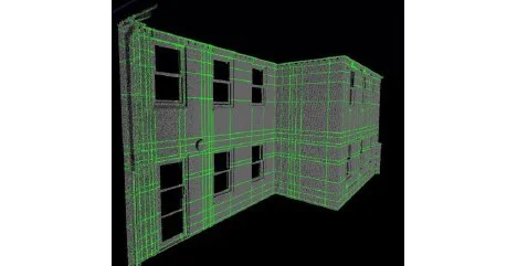
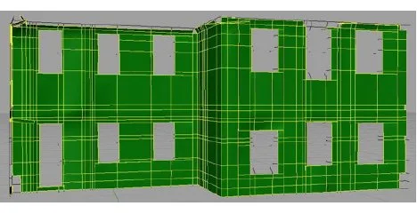
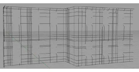
GMJ also develops software to support modelling and analysis. In 2009, we created a system in collaboration with London South Bank University to automate the creation of 3D CAD models from raw LiDAR data, simplifying what had previously been a complex and manual process.
We continue to develop new applications, combining modelling, analysis and automation to improve accuracy, efficiency and clarity in design development and the planning process.
We provide :
Three dimensional masterplanning to define maximum development envelopes
Integration of planning constraints, including protected views and local controls
Model based tools for assessing complex urban sites and overlapping constraints
Visibility and envelope analysis in areas with complex three dimensional planning conditions
Automated 3D modelling from LiDAR and point cloud data
Ongoing software development to support planning, modelling and analysis
Examples of this work are shown below.